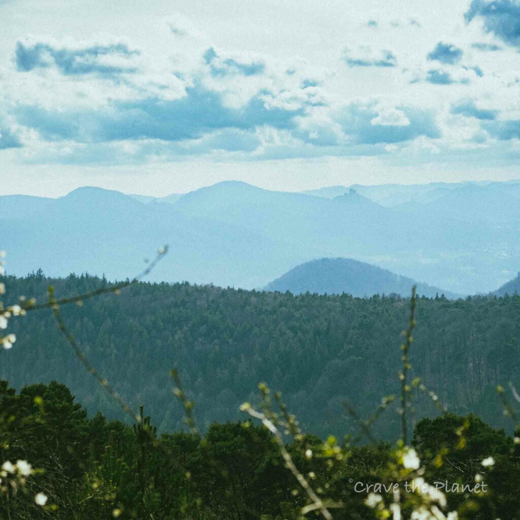
This hike has a wild shower! It’s also suited to photographers that want epic views of Trifels castle amongst layers upon layers of low mountains and some time on the Almond Blossom Path (Mandelpfad) near the Wine Road.
Author’s tl;dr:
🇩🇪 Germany: Low Mountain + Vineyard Day Hike
This loop is away from crowds and has 2 mountain huts to grab food, gorgeous views of mountaintop castles and a wild shower.
7.92 miles, Soft, leaf carpeted trails
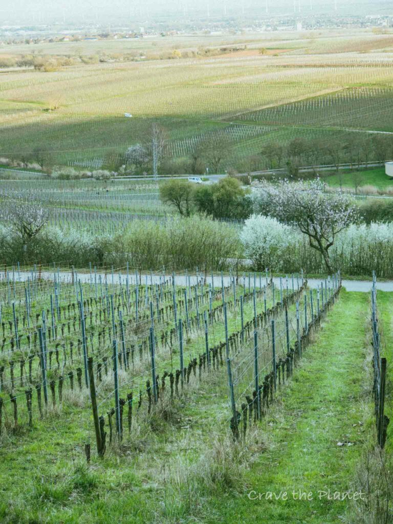
Located about 25 min from Neustadt Germany, this Rhineland Pfalz low mountain front-range mixed with vineyard hike offers more expansive vineyard views than the nearby Kalmit or Kurpfalz hikes. However there is less time on the Mandelpfad (Almond Blossom Path) than the Wachenheim hike.
- What I really loved was wild shower and views of Trifels castle.
- What I thought was rough was that none of the huts are open outside weekends.
Related: If you love chairlifts on your hikes (to skip the up, or if you have friends that don’t love the hills as much as you do) check out my Edenkoben Tal Hike just down the Mandelpfad.
Morgan’s Hiking Video to Teufelsberg
Click on the “Youtube” to see in full screen and while you are there, please like and subscribe. ❤️
What You Will Learn
- Gleisweiler – Trifels View – Teufelsberg Loop Hike Overview
- Become a European Adventure Travel Insider in Just 5 minutes
- Gleisweiler an der Weinstrasse Hiking Map
- Trifels Castle View Loop Hike – My Experience
- Food and Huts on the Hike
- How to Get Here
- Cultural Aspects of the Outdoor German Weinstrasse
- More Images of This Hike
- Craving Mountain Adventure?
Gleisweiler – Trifels View – Teufelsberg Loop Hike Overview
✨Best View of Trifels Castle
- Location: Gleisweiler Germany, Border of Pfälzerwald & Winestrasse
- When to Hike: Year Round
- Distance: 7.41 mile loop, 11.92 km
- Up/down: 1,125 feet, 342 m
- Time: 3:30 hours
- Difficulty: Moderate
- Points of Interest: St Anna Hutte, St. Anna Church, Trifelsblick Hutte, Teufelsberg, Wild Shower, Vineyard Almond Path, Biosphere Reserve
- Transport: Parking is free at this parking lot and it’s wild camper friendly, there’s no train but you can use a bus.
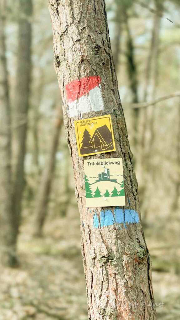
Trail Sign Rating = 4/5
Become a European Adventure Travel Insider in Just 5 minutes
✨Unlock Europe’s best-kept secrets with our free bi-weekly newsletter.

Gleisweiler an der Weinstrasse Hiking Map
How to Use This Map:
Click on the icon on the top left-hand corner. You will now see an interactive list.
For more info on each, click on the map icons.
To see the map in more detail, click on the [ ] in the top right-hand corner. This will open a larger map where the details of each point can be found by clicking on the location point name in the list on the left.
You can also save the map for your own use by clicking the next to the map name. This will save the map to your Google Maps, where you can make a copy and use it for your own trip planning.
To view the saved map on your phone, open Google Maps, click “saved” on the bottom, and then “maps” on the lower right.
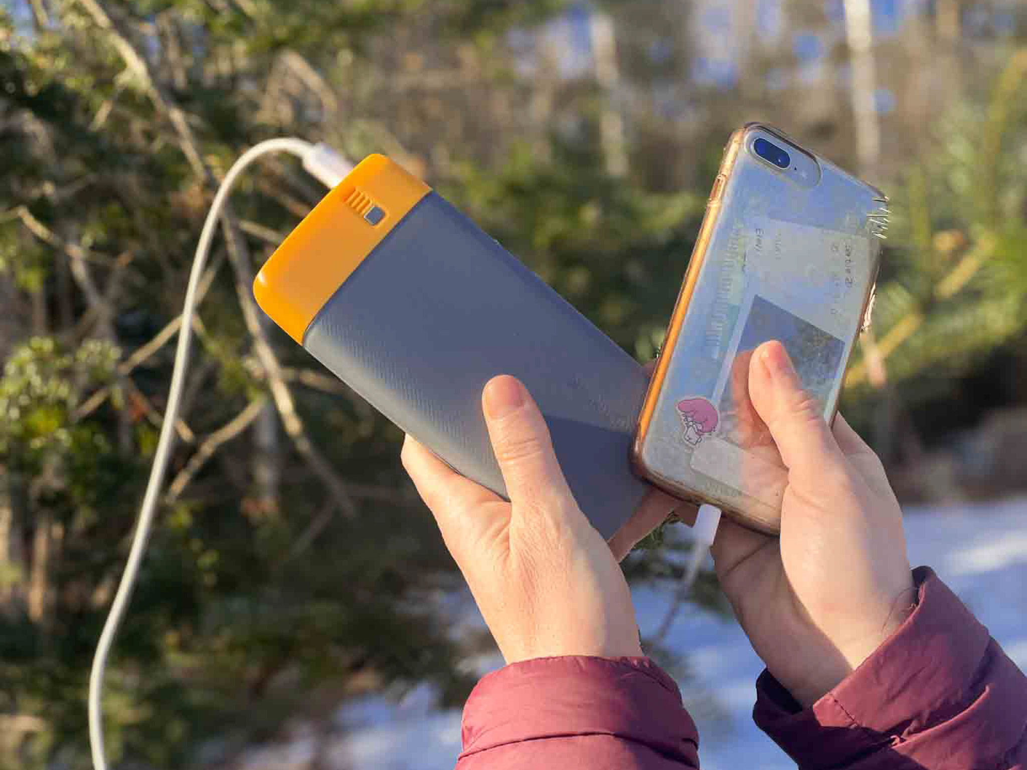
What We Liked About the BioLite Power Bank:
- It lasts so long
- 18 watt USB-C input/output and two 3.0 USB-A
- The 20,000 mAh battery fully charges in 5 hours
- Weighing 16.4 ounces and measuring 6.7 x 3.2 x 1.0 inches
- Comes with Charge 80 PD, USB-A to USB-C
✨ The Peace of Mind to have GPS when I get lost hiking....is invaluable.
Trifels Castle View Loop Hike – My Experience
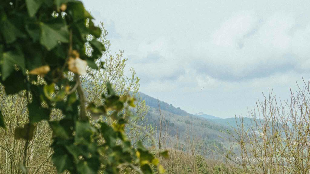
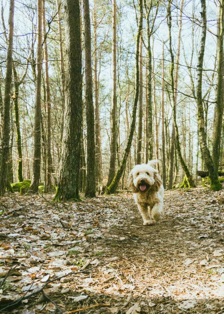
My dog Ruby and I hiked it on a sunny day in March. I originally planned to walk in the vineyards to see the last of the Almond Blossoms, but I forgot her leash. We decided to head into the mountains in order not to run into other dogs, and we saw exactly 4 people the entire trail.
This area is along the German Weinstrasse front range, and it’s a great, cultural hike in Rhineland Palatinate.
You will also like my related hiking guide: The Bad Urach Waterfall hike near Stuttgart is very impressive and has lovely yummy huts to eat and it’s own train stop.
Parking – St. Anna Church & Hut (:45)
Let’s get this over first. Next time, I’d probably reverse direction and follow the “Trifelsblickweg” path instead. The trailhead is between the houses directly near the parking lot.
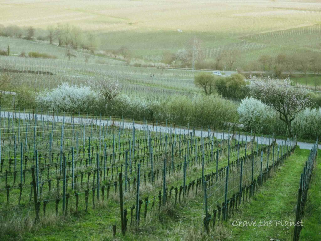
My trail is definitely great – but it seems better to get the expansive views near St. Anna church at sunset overlooking the vineyards, vs how I did it – walking down the green gorge next to the Wild Shower at sunset.
Basically I went counter clockwise. So depending on time of day…consider switching direction, and/or taking the trifelsblickweg instead. I’m not sure if the Trifels path hits the wild shower though.
The path is marked by the “Pfalzer Weinsteig” signage in limited parts. This long distance trail seems amazing and I want to do it staying in villages or mountain huts each night for about 4-5 days!
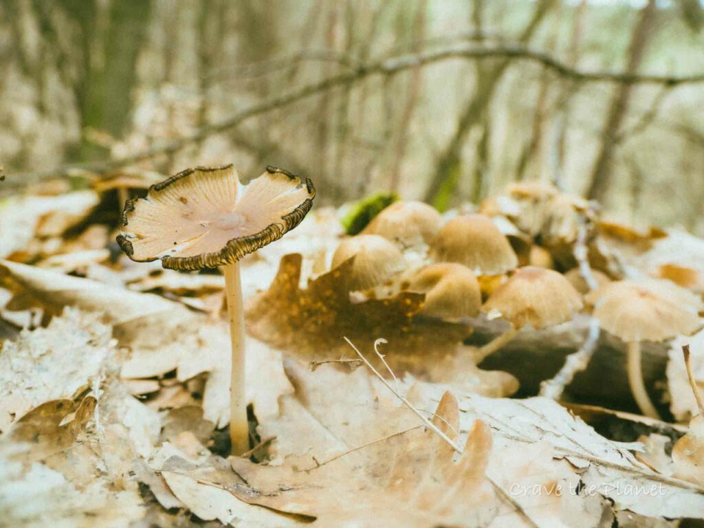
Anyhow, you’ll simply walk up the first single track trail from the parking lot. You’ll be on the “mushroom trail” and walk around the psychiatric hospital.
Through the trees you can spot the Sun Temple.
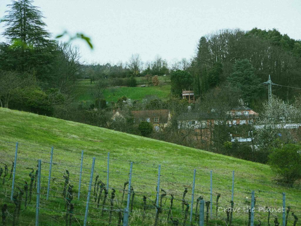
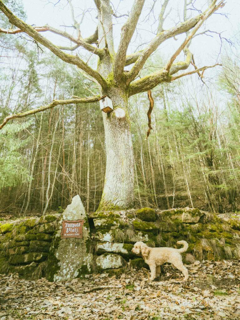
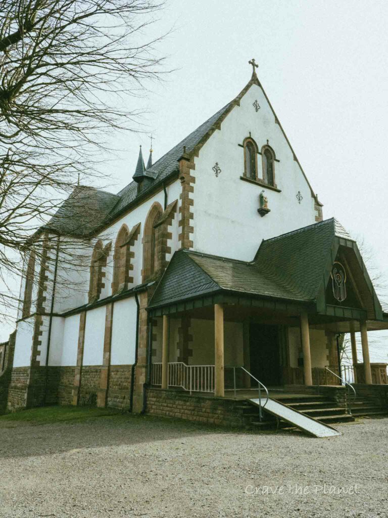
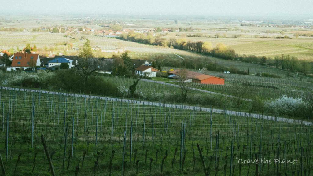
Just past the Luitpold Tree platz, head through the orchards and then through the forest upward to St. Anna’s Church and the hut directly behind it.
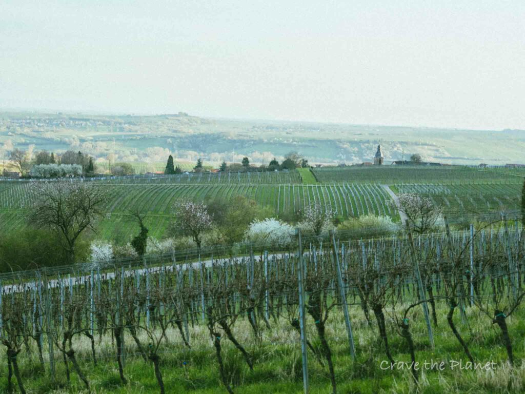
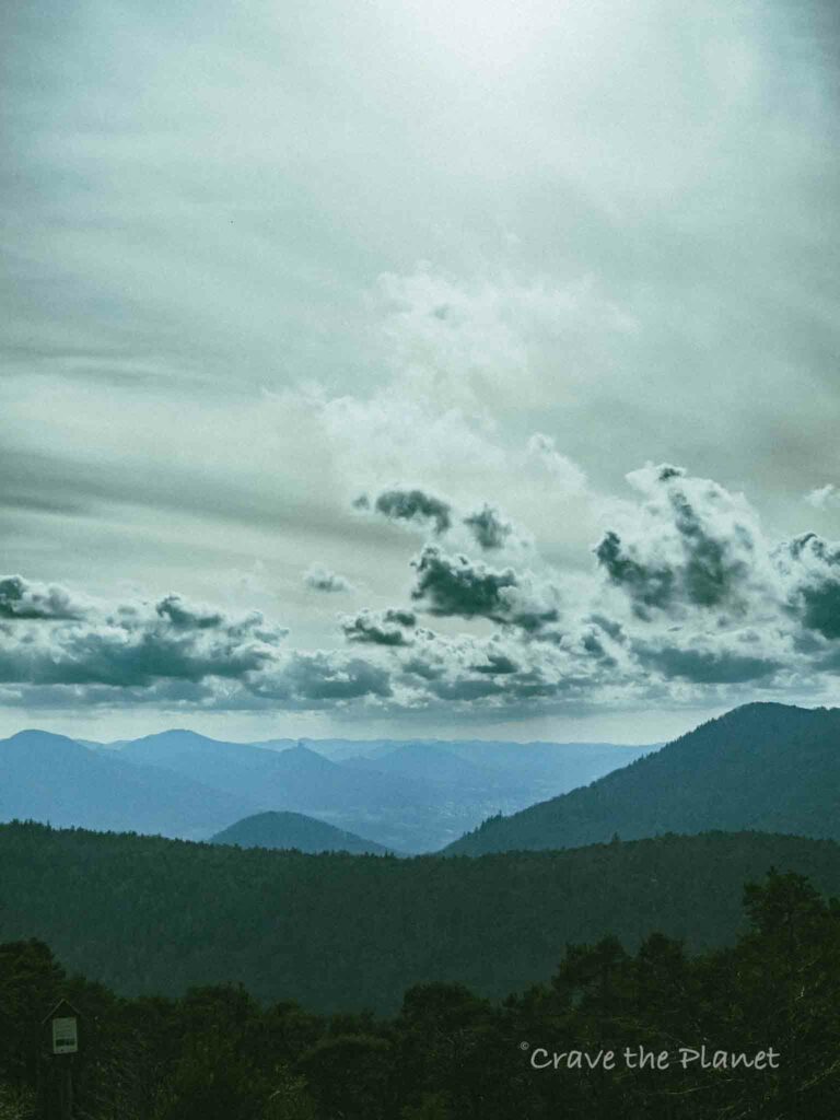
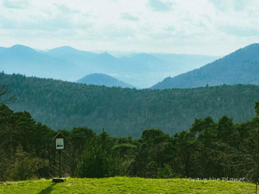
The views here are epic!
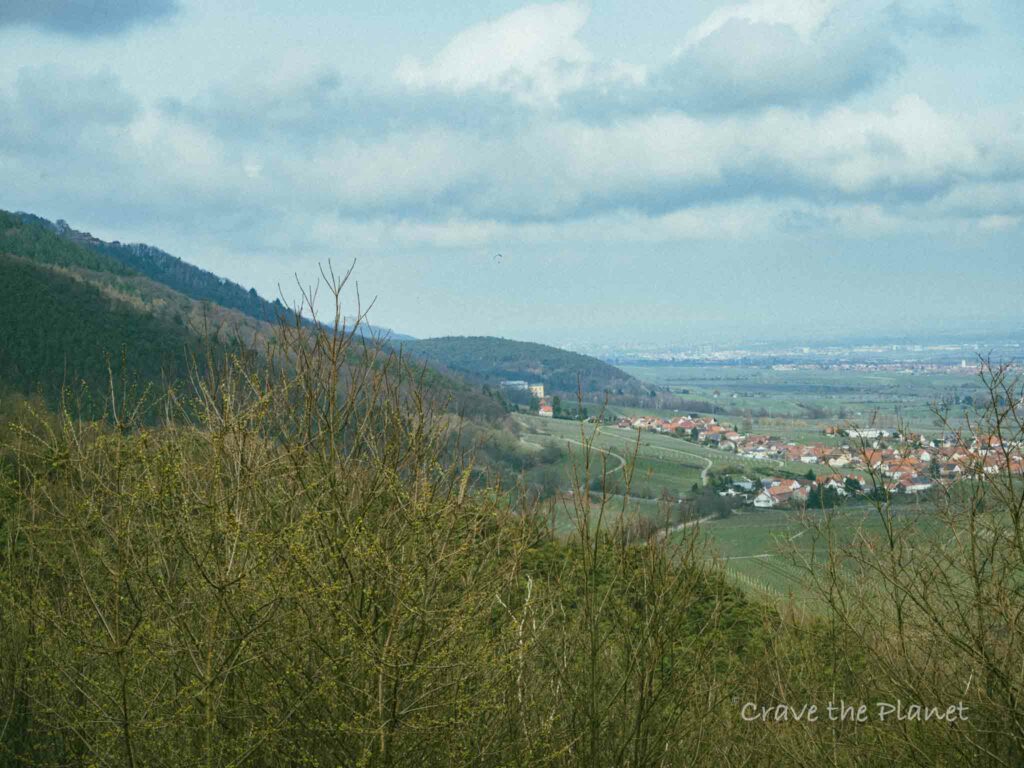
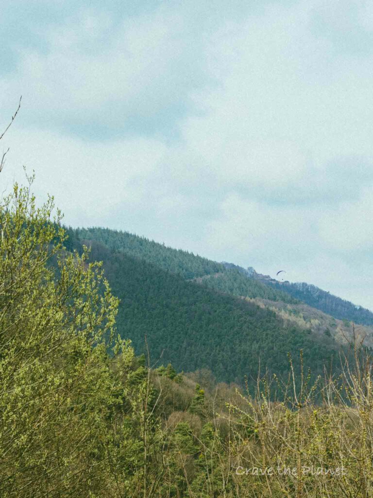
I even spotted 2 paragliders on the mountains just north of here.
This website has great info about some of the longer hikes in the area. There are SO MANY trails and signs and they all interweave.
St. Anna’s Hut – Trifelsblick Hut – Teufelsberg (1:45)
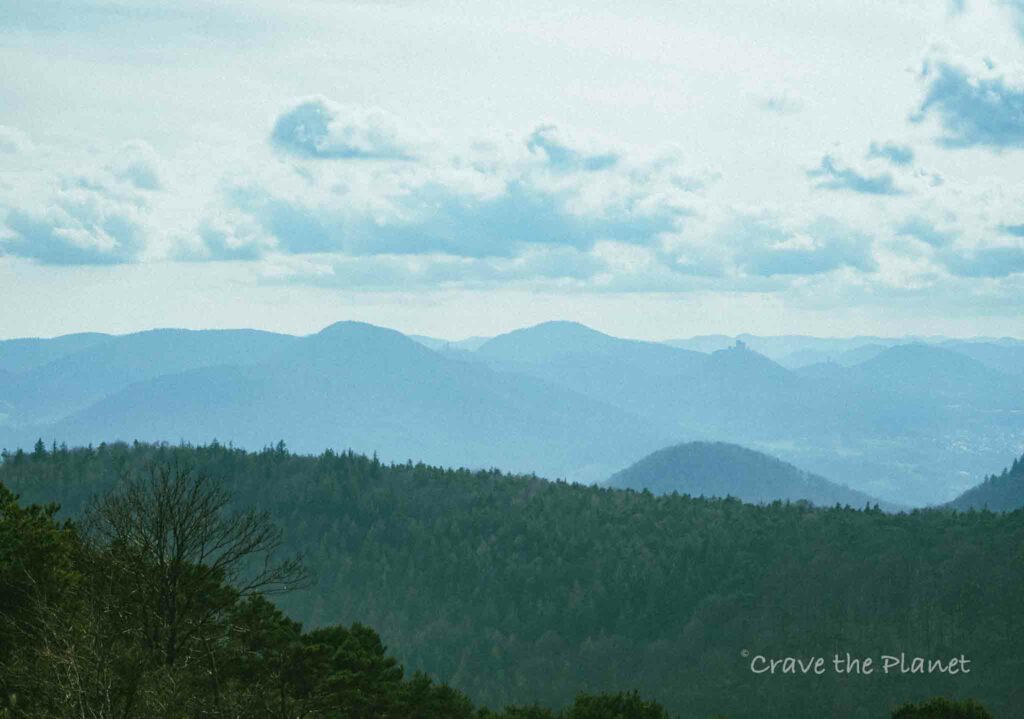
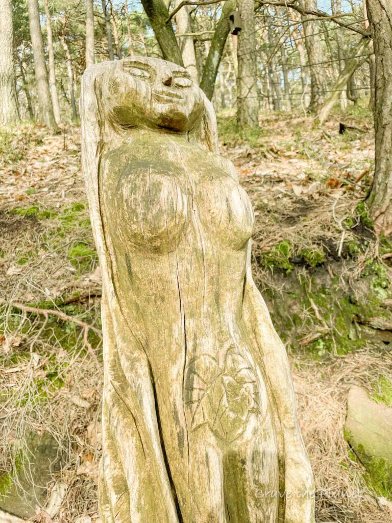
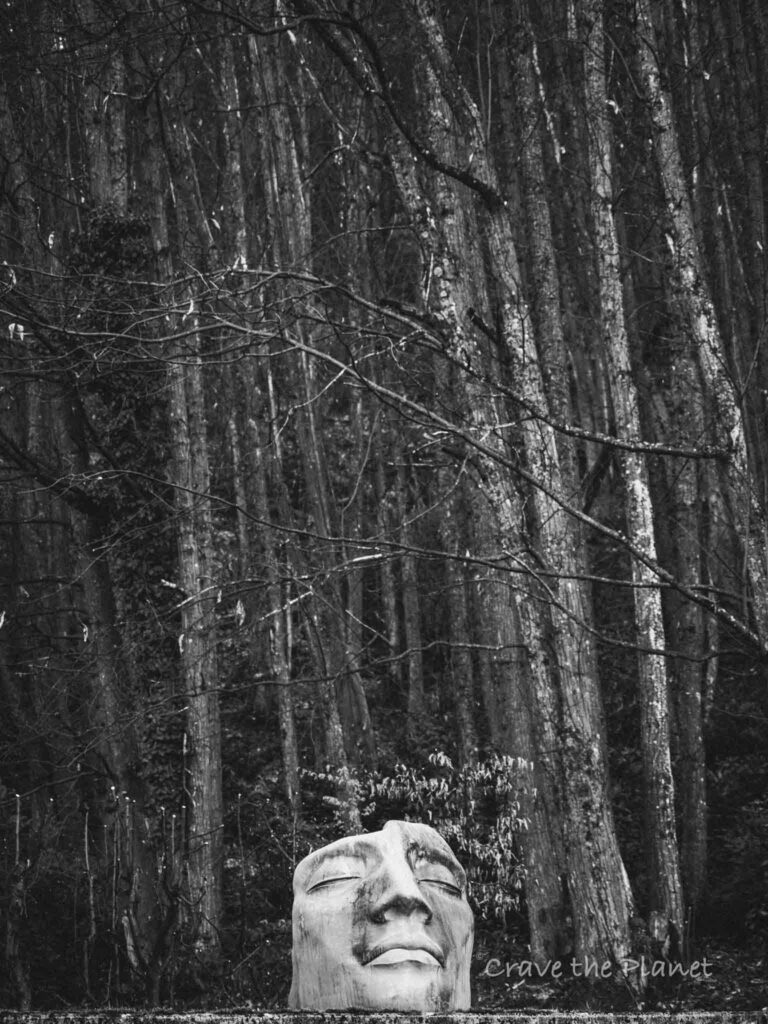
Here the path forward is primarily forested and wide flat trails. There are many hand carved wooden statues alongside the trail.
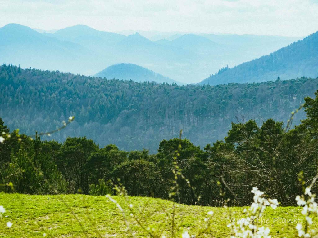
The Trifelsblick hut is open on Saturday and Sunday and holidays from 9:30-18:00. It’s worth some time here to do some photography.
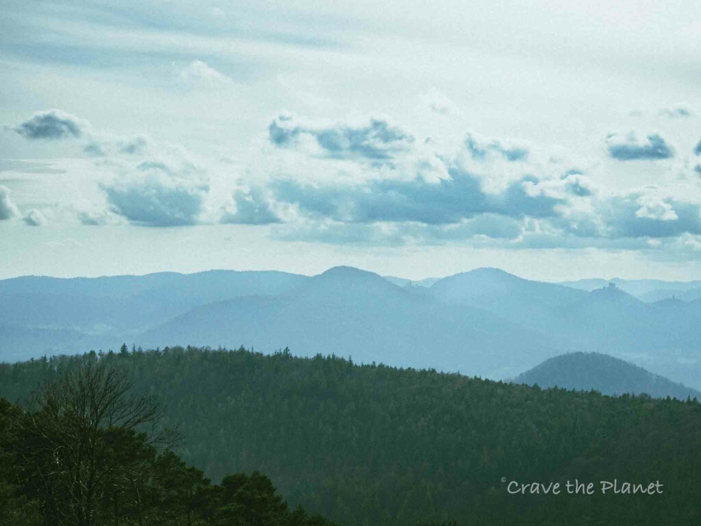
The views of the Trifels castle are tops.
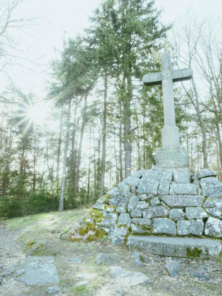
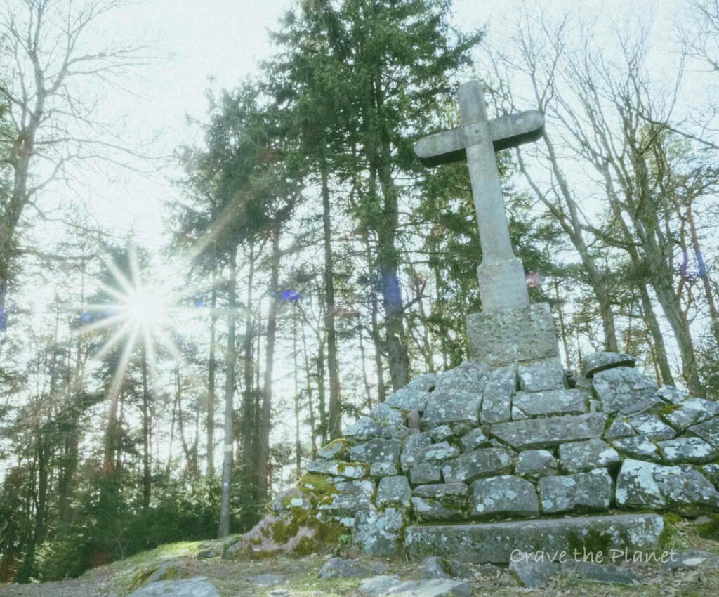
From here it’s mainly uphill through pine forests to the next overloook- the Teufelsberg.
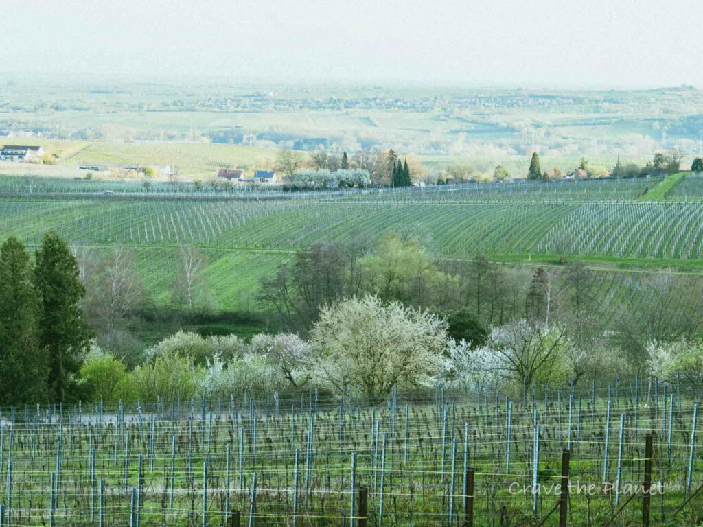
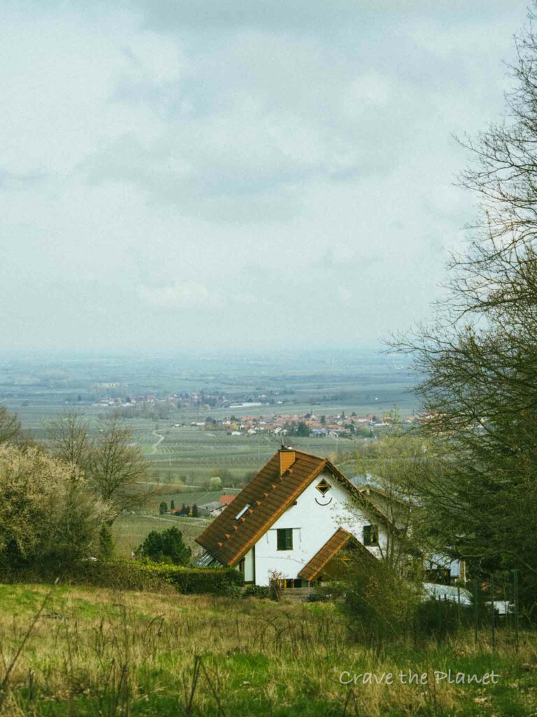
It’s a lovely cross with yet another expansive vineyard view.
Teuefelsberg – 3 Corners – Wild Shower – Mandelpfad – Parking (3:30)
Fun single track through the forests and “fels” (aka, cool rock formations).
This area is great for beginner mountainbikers too.

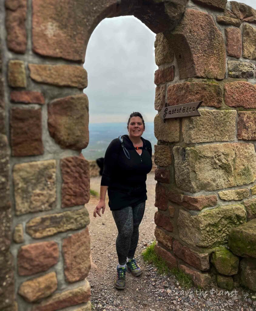
Once you get to the “3 corners” you’re going to now get OFF the marked trails. This is why I chose this route vs the Trifelsblick.
The wild shower is a seriously cool place with an aqueduct of mountain water pushed into a massive stone structure with a waterfall of a shower.
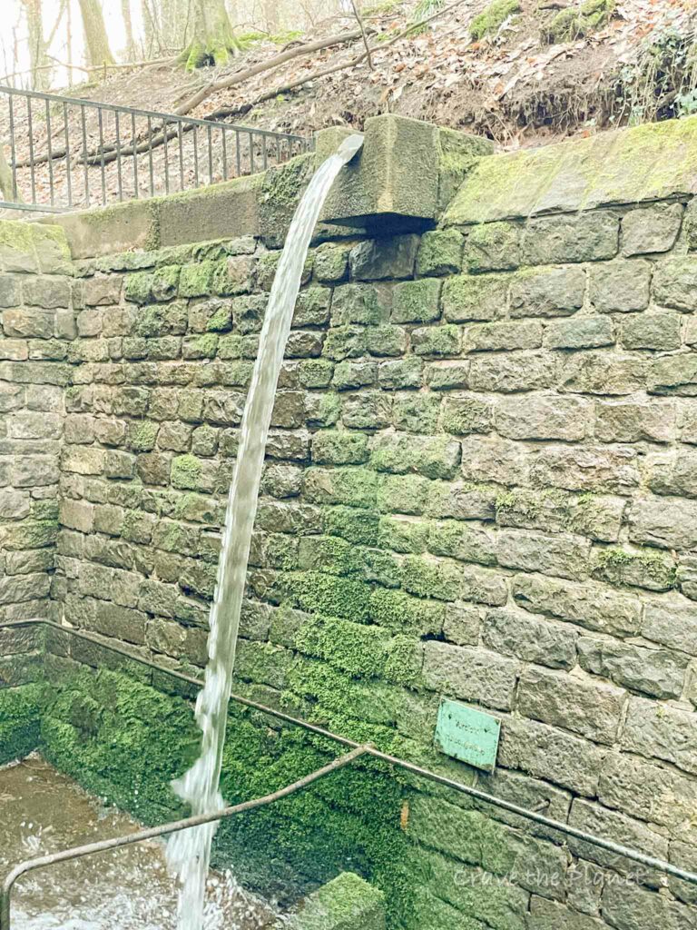
It’s like a knieppbad on steroids.
It’s a nice single track down to the vineyard area and you’ll pass a really pretty government building.
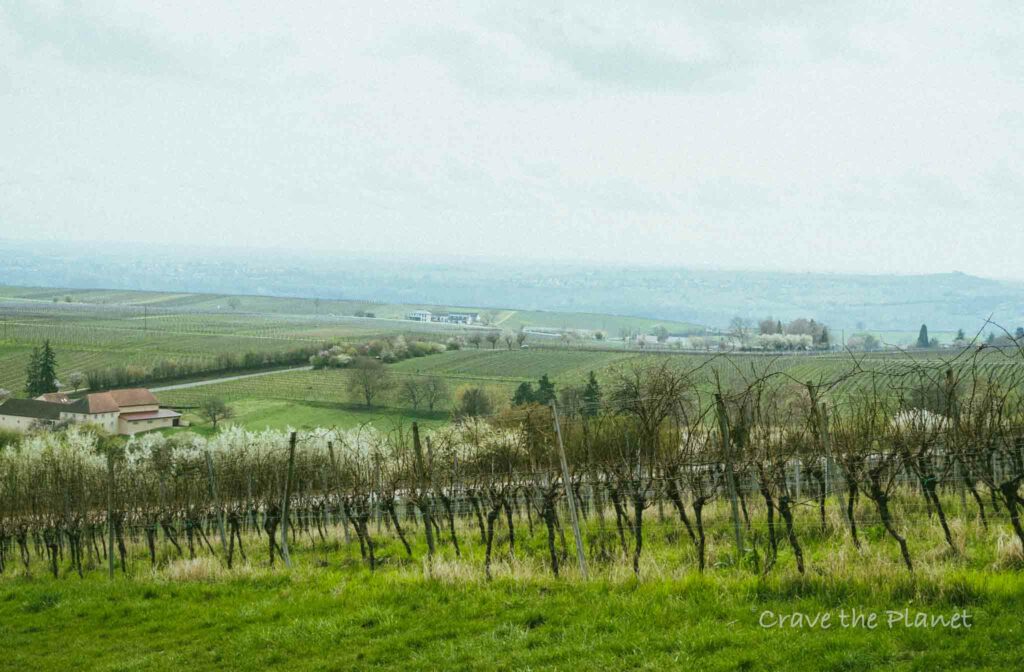
Then get onto the almond blossom path back to the parking lot.
The sign will shift to the “Mandelpfad” and it’s an obvious pink blossom. Have fun strolling back to Gleisweiler and if you go in March the entire trail is covered in pink petals.
💗 Hiking & Culture? Read👉 Rhine Castle Hotel Guide
Food and Huts on the Hike
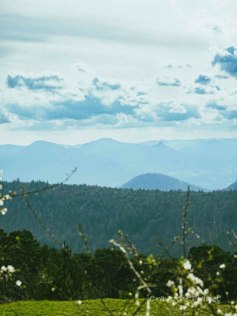
You’ve got two choices on this trail or you can dip into Gleisweiler village….there’s places for wine tastings, hotels and restaurants in the adorable micro village.
Trifelsblick Hutte (Trifels Castle View)
- The hut is open Saturday and Sunday.
- You can always take a picnic.
- They have group hikes.
There are plenty of outdoor tables and a playground.
St. Anna Hutte (Sundays only)
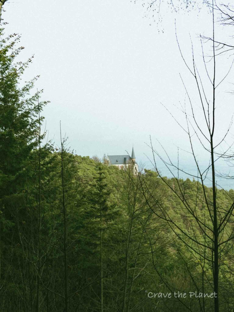
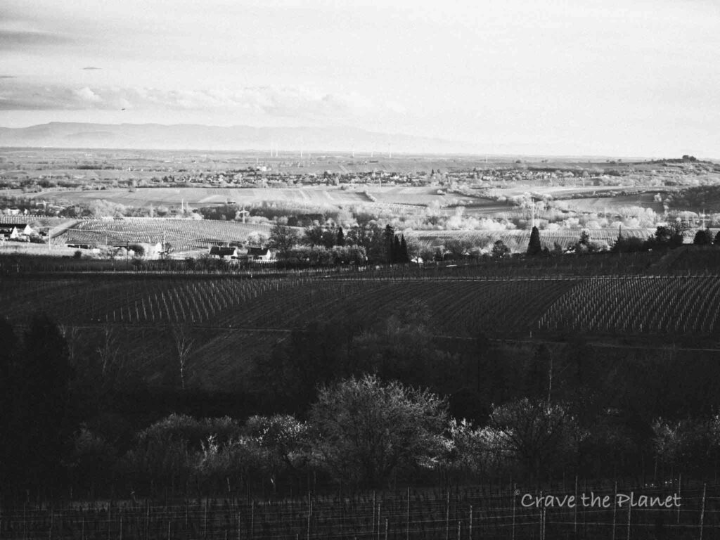
It was closed when I went on a Tuesday, but in season you can grab food and a drink and enjoy the playground. There are public toliets here also. It’s located directly behind St. Anna’s church and the views over the Rhine plain are insanely beautiful.
Look at this website for opening times. It’s maintained by the Burrweiler PWV club.
How to Get Here
By Car
Driving is the easiest way to get to this hike.
Wachenheim is the most adorable wine village but parking is tough. I found a spot on the street and couldn’t find the parking lot. You can find ample parking in the housing section of town away from the mountain side of town.
By Bus
If you want to take the bus, you’ll need to get to Gliesweiler. Check the schedule here.
Cultural Aspects of the Outdoor German Weinstrasse
Gimmeldingen Almond Festival
The Gimmeldingen almond blossom festival, an annual event that attracts visitors and locals alike, is a lovely March festival that takes place over two weekends with a total of around 37,000 enthusiastic visitors.
The feast not only offered a variety of culinary delights, from hearty roasts to sweet crepes, but also a rich selection of drinks. Particularly highlighted was the “Mandellino” again this year, a refreshing cocktail with a decorative floral arrangement that delighted the visitors.
In the evening, local pubs have live music.
Mandelpfad
The Mandelpfad, or Almond Trail, in Rhineland-Palatinate is a scenic route that offers a unique blend of natural beauty and cultural exploration.
Winding through the picturesque wine-growing region, the trail spans about 100 kilometers and is adorned with the delicate pink and white blossoms of almond trees, especially enchanting in the spring.
Along the way, hikers can immerse themselves in the region’s rich history by visiting charming villages and ancient ruins. The path meanders through zesty vineyards and past cozy wine taverns, inviting travelers to sample the local fare and renowned wines.
Rietburg Chairlift (30 min from Wachenheim)
Soar to a Castle Restaurant
Located at the top of the Rietburg chairlift and inside the castle ruins, this restaurants has some of the best vineyard views you could imagine and serves up typical Pfalzisch dishes and wines.
The Sesselbahn will open this year March 16 and operate daily. It ends at the restaurant located within the castle ruins. For winter it’s open Saturday and Sunday only.
Monday – Friday : 10:00 am – 5:00 pm
Saturday + Sunday : 10:00 – 18:00 o’clock
Pricing: 8 euros for adults
Related👉 Rietburg Chairlift Details
Things to Know about the Rietburg Castle Ruins
Perched at 535 meters above sea level on the northeastern slope of the 618-meter-high Blättersberg mountain, part of the Haardt range, the castle overlooks the scenic Palatinate Forest.
⛰️ Looking for an epic yet accessible hiking travel adventure?
Unlock the secrets of hut-to-hut hiking in Europe with our FREE course! Transform the way you trek and prepare for the journey of a lifetime. Try my course What to Expect Hut to Hut Hiking to reduce fear and answer all your questions.
Enroll Now for FreeThe Rietburg was constructed between 1200 and 1204 by the lords of Riet. Its history saw a notable event in 1255 when Hermann of Riet took Queen Elisabeth of the Welfs hostage, leading to his loss of the castle, which then became an imperial possession.
Despite surviving the Weißenburg Feud in 1470 and the Palatine Peasants’ War in 1525, the castle was destroyed during the Thirty Years’ War and never rebuilt.
Efforts to preserve the ruins have been ongoing, including a notable discovery of coins during excavations in 1872, preservation work in 1925, and the construction of a refuge hut and a restaurant in the 20th century.
The Rietburg Club has been active in conservation efforts, including the installation of a wooden bridge over the historic neck ditch in 2012.
A local legend speaks of a robber baron with a hideous face who once inhabited the castle, known as the “old palace.”
His cruel actions and eventual downfall are part of the folklore surrounding the Rietburg, adding a mystical aura to its ruins.
More Rhineland Pfalz Outdoor Travel Blogs
- Dahn Rocks Hike
- Hikes and Culture in Oberwesel on the Rhine River
- Nanstein Castle Hike by Kaiserslautern
- Gelterswoog Hike by Kaiserslautern
- Hikes and Culture in Boppard on the Rhine River
- Steinwenden Sculpture Hike by Ramstein Air Base
More Images of This Hike

Craving Mountain Adventure?
Hut to Hut Hiking in the Dolomites Free Course
Curious about hut-to-hut hiking in the Dolomites, but not sure where to start or what to expect? Sign up for our newsletter that simplifies and educates so you can focus on the views and vino. Get curious, get ready, and let’s get started! Sign up here👇🏼
- Free Email Course to Learn : Everything You Need to Know About Hut to Hut Hiking
Thanks for reading! I hope you enjoy rambling around the Haardt mountains and catching some outdoor history and culture. How cool is that?
Have you experienced a cool trail nearby? We would love to hear how it was over on our facebook group Plan Hiking Adventures in Europe.
We hope this guide about the German wild shower hike has given you some helpful information to plan your next adventure.

Author profile: Morgan Fielder is a Doctor of Physical Therapy and passionate hiker who believes in exploring the world on foot with good food. Follow her journey as she shares science-based hiking tips and advocates for sustainable tourism.

