
If you’re looking to do something non-boozy near Germany’s captivating Weinstrasse, the Kalmit Summit hike to 2,208 feet (673 m)offers expansive views all the way to the Black Forest, and impeccable hiking trails.
Located not far from Neustadt an der Weinstrasse, this hike may be popular on busy weekends, but worth every step due to it’s expansive views and soft trails.
It’s the 2nd highest mountain in the Pfalz, second only to Donnersberg and a hut is perched right on the top with a lovely playground.
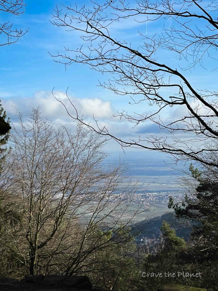
What I really loved was sitting at the picnic bench overlooking the entire Rhine valley and then meandering through ancient forests. It’s both expansive and soft, with leaf carpeted trails through the forests.
This is along the border of the Palatinate forest in Rhineland Pfalz and the charming Weinstrasse featuring oodles of wine tasting opportunities in perfect little villages.
It demonstrates a lot of history like the nearby Adlerbogen hike where the highest mountain in the Pfalz (Donnersberg) is located or the hikes around Nanstein castle with their pagan and medieval history.
Author’s tl;dr: The Kalmit Summit hike located near Neustadt is a premium trail, not muddy, and has 2 active hütten along the trail. Filled with stone history placards, impeccable single track and expansive views over the Weinstrasse. Including GPX stages for your phone and food and cultural highlights.
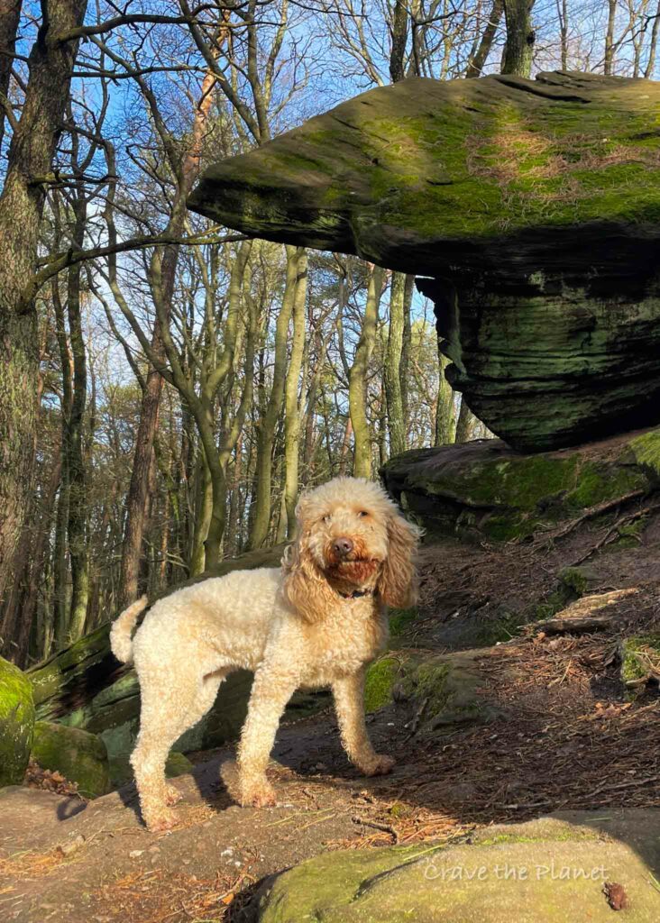
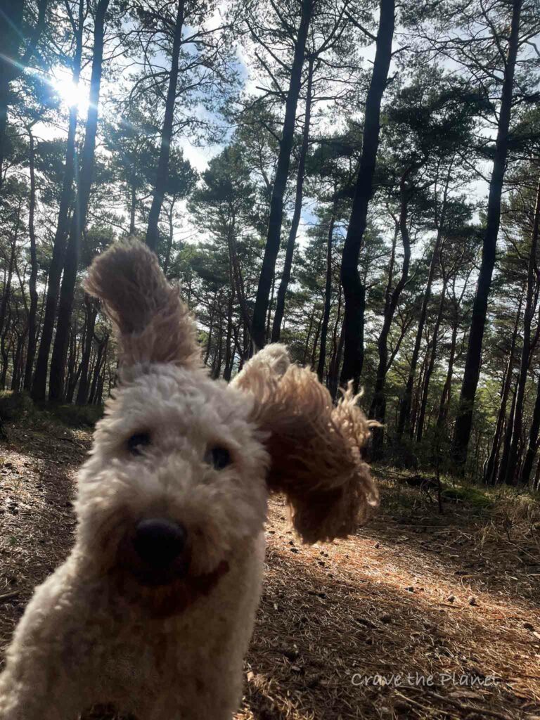
Dog friendly. 7.06 miles but easily shortened, multiple different loops. **If you have small kids you can park at the hut, grab lunch, walk around a little and let them play in the forest playground overlooking the Weinstrasse.
Morgan’s Kalmit Hiking Video near Neustadt
Click on the “Youtube” to see in full screen and while you are there, please like and subscribe. ❤️
Kalmit Summit Hike Overview
Weinstrasse’s Best Hike
- Location: Pfälzerwald, Germany in Haardt Mountain Range
- When to Hike: Year Round
- Distance: 7.06 mile loop
- Up/down: 1050 feet
- Time: 3:00 hours
- Difficulty: Easy-Moderate
- Points of Interest: Hohe Loog Haus, Kalmithaus, Eagle Stone, Kalmit Summit
- Transport: Parking is here at Parkplatz Breitenberg
Become a European Adventure Travel Insider in Just 5 minutes
✨Unlock Europe’s best-kept secrets with our free bi-weekly newsletter.
Kalmit Summit Hike Map
How to Use This Map:
Click on the icon on the top left-hand corner. You will now see an interactive list.
For more info on each, click on the map icons.
To see the map in more detail, click on the [ ] in the top right-hand corner. This will open a larger map where the details of each point can be found by clicking on the location point name in the list on the left.
You can also save the map for your own use by clicking the next to the map name. This will save the map to your Google Maps, where you can make a copy and use it for your own trip planning.
To view the saved map on your phone, open Google Maps, click “saved” on the bottom, and then “maps” on the lower right.
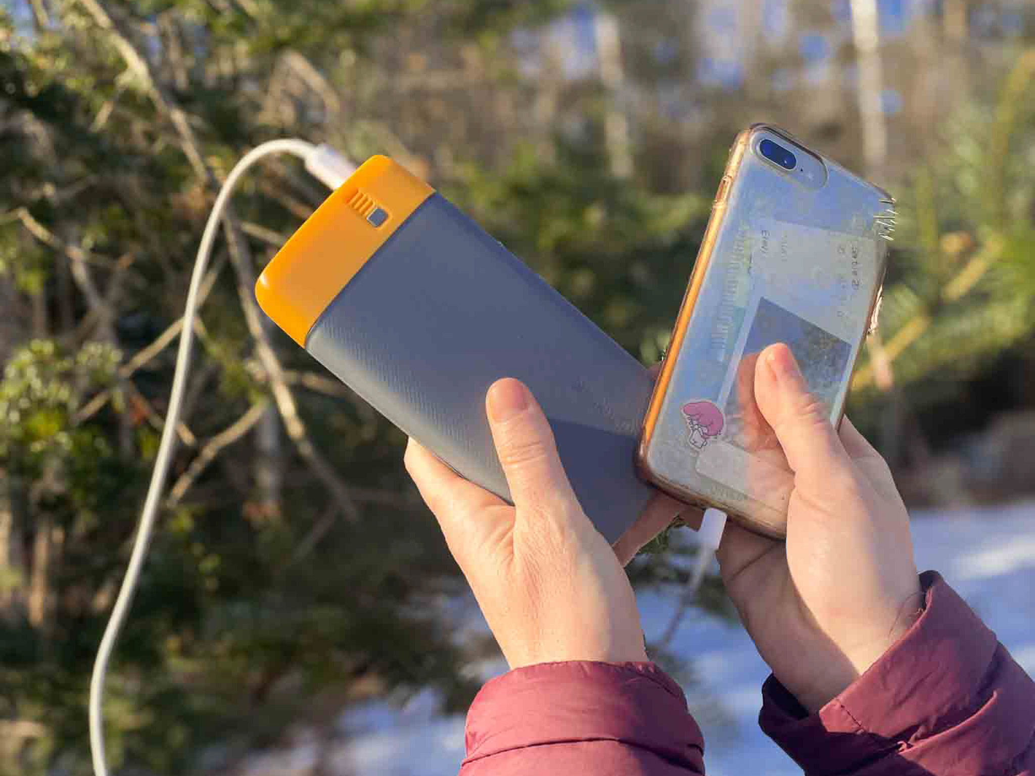
What We Liked About the BioLite Power Bank:
- It lasts so long
- 18 watt USB-C input/output and two 3.0 USB-A
- The 20,000 mAh battery fully charges in 5 hours
- Weighing 16.4 ounces and measuring 6.7 x 3.2 x 1.0 inches
- Comes with Charge 80 PD, USB-A to USB-C
✨ The Peace of Mind to have GPS when I get lost hiking....is invaluable.
Kalmit Summit Hike My Experience
Parking Lot – Huttenberghutte – Felsenmeer – Hiker’s Parking lot (1:35)
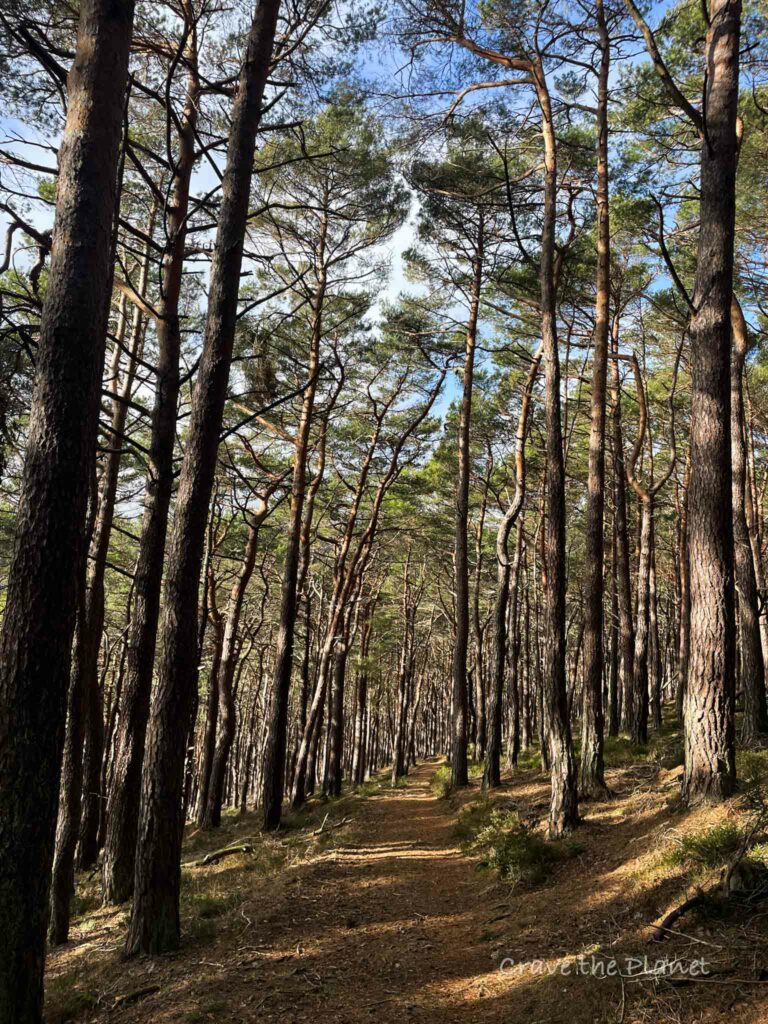
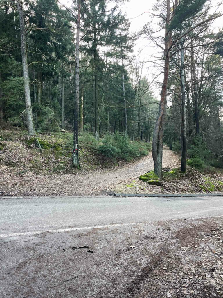
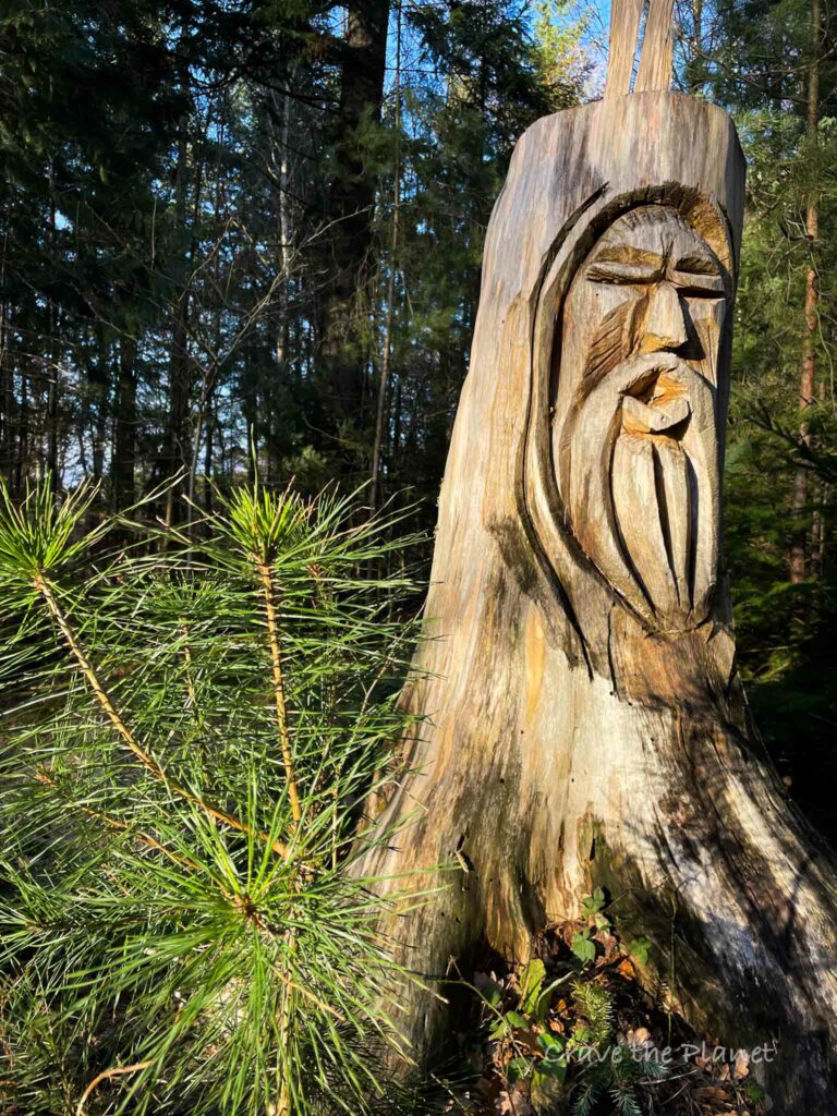
This hike starts off meandering through a twisted pine forest on impeccable single track until you get to natural springs. The trees here are very interesting and the trail is lined with soft pine needles.
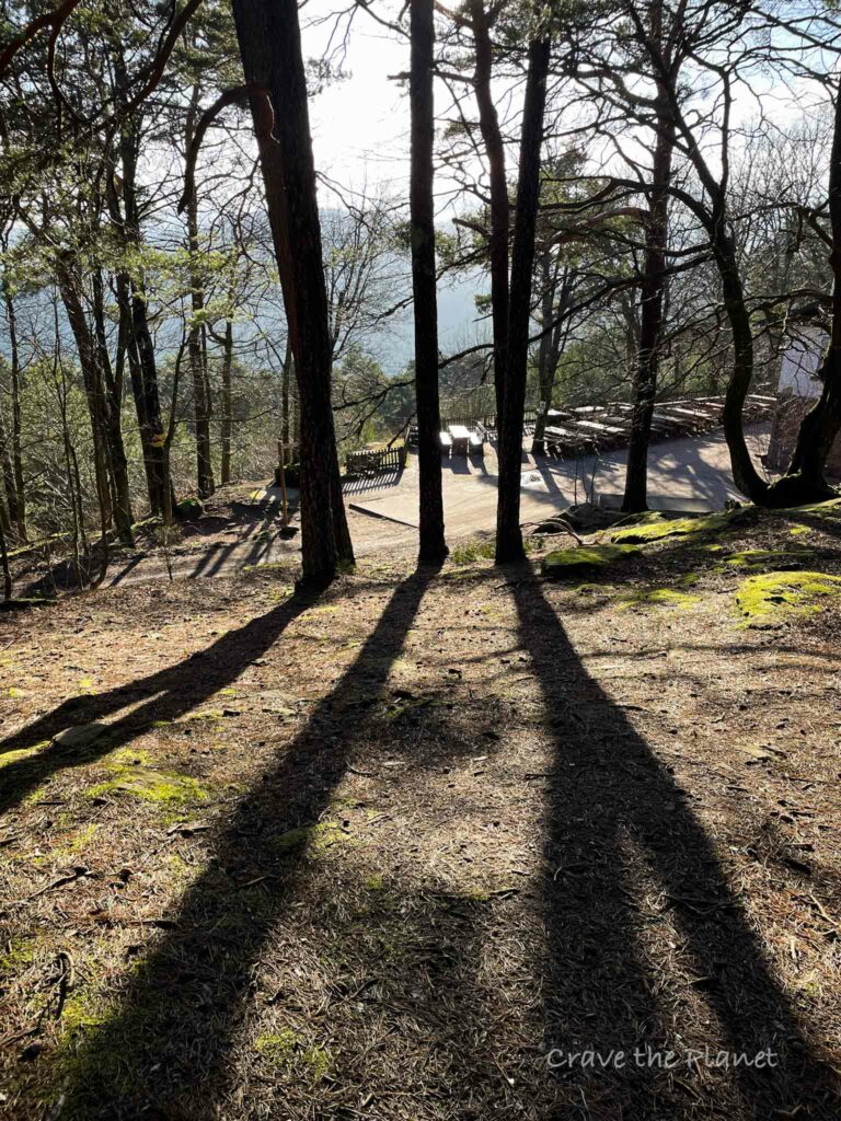
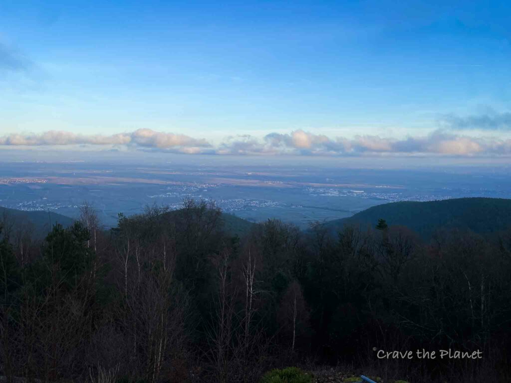
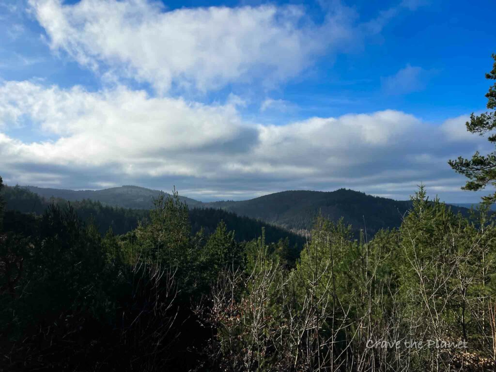
Once you reach the hutte, you’ll get your first expansive view of the lovely Palatinate forest with it’s traffic cone shaped mini mountains.
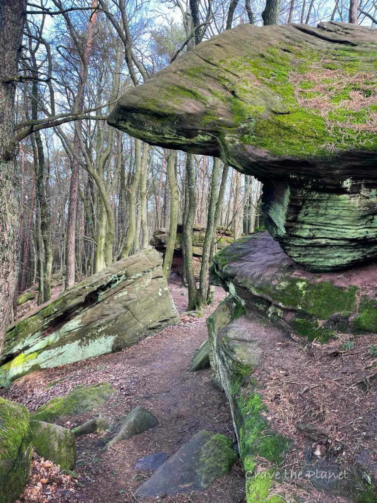
After making a SHARP right, you’ll actually get to walk along the top of the fels on the Kalmithohenstrasse for quite a long time.
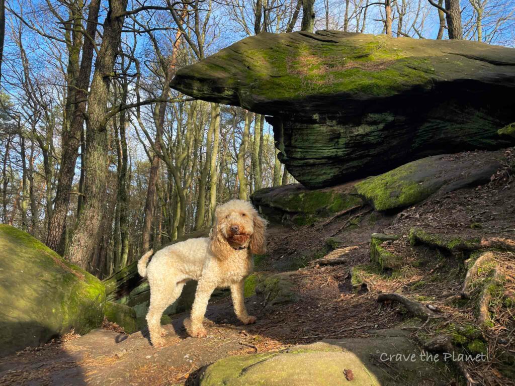
Here the fels ridge never feels exposed, but it’s quite interesting and you even get to walk in between fallen rocks.
Hiker’s Parking Lot – Hohe Loog Hutte (2:00)
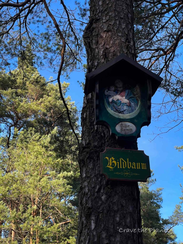
The trail here is wider and you’ll pass a very large parking lot on your right. Head toward the Bildbaum table and take the single track to the left.
You’ll walk all the way to the Hohe Loog Hutte and you’ll get some incredible views (especially in the late afternoon or near sunrise.)
The peak of Kalmit is here just behind the hut.
If you have kids, I would go here in a heartbeat due to the playground.
Hohe Loog Hutte – Kalmithaus (2:45)
You could go back the way you came, but I found a path that goes through some pretty spooky forest on single track. It’s parallel to the way you came in but on a slightly different path.
You’ll cross back over the highway, and then go to the left all the way to Kalmithaus where you’ll be rewarded again with food and incredible views with plenty of tables.
The eagle stone is really cool.
Kalmithaus – Parking (3:00)
It’s a fairly quick and easy downhill back to parking.
History
Kalmit is the highest peak in the Palatinate Forest and the second highest in the Palatinate region of Germany, standing at 673 meters above sea level. It is located within the Haardt mountain range, which forms the eastern edge of the Palatinate Forest and overlooks the Rhine Plain.
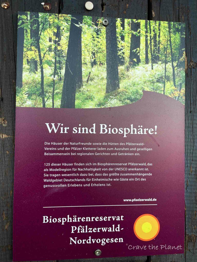
The mountain and its surrounding areas are rich in biodiversity and are part of the Palatinate Forest-North Vosges Biosphere Reserve.
The history of Kalmit is largely geological, formed by the extensive volcanic activity that shaped the landscape millions of years ago during the Tertiary period.
Human interaction with the mountain is evidenced by several historical artifacts found in the region, suggesting that the area was frequented by Roman and Celtic peoples.
In more recent history, the mountain has become a popular destination for hikers and nature enthusiasts, offering panoramic views of the Palatinate region and beyond.
The Kalmit features a tower at its summit, which was originally constructed in the early 20th century and rebuilt in the 1970s, serving as a lookout point for visitors to enjoy the sweeping vistas of the surrounding landscape.
You will also like my related history hiking guide: The Dragon’s Teeth series of hikes along the Hockerlinie west wall from WWII.
💗 Hiking? Read👉 Bad Urach Waterfall Hike
Things to Know About the German Weinstrasse
Germany’s Weinstrasse, also known as the German Wine Route, is celebrated as the oldest of its kind in the country, offering a picturesque journey through the heart of Germany’s wine country. Stretching approximately 85 kilometers through the Palatinate wine region, it winds from Bockenheim in the north to Schweigen-Rechtenbach near the French border in the south.
Along this route, travelers can indulge in the region’s renowned Riesling and Dornfelder wines, explore charming wine-growing villages, and partake in seasonal wine festivals.
The Weinstrasse is not only a paradise for oenophiles but also a cultural experience, featuring historic landmarks such as the Hambach Castle and the Dürkheim Barrel, the world’s largest wine barrel.
The route’s blend of scenic beauty, culinary delights, and rich heritage makes it a must-visit destination for anyone touring Germany.
⛰️ Looking for an epic yet accessible hiking travel adventure?
Unlock the secrets of hut-to-hut hiking in Europe with our FREE course! Transform the way you trek and prepare for the journey of a lifetime. Try my course What to Expect Hut to Hut Hiking to reduce fear and answer all your questions.
Enroll Now for FreeRhineland Pfalz Hiking Huts
There are 2 serviced huts on this trail, making it very attractive for culture lovers. I went on a Monday and none were open, but the views from both terraces are spectacular.
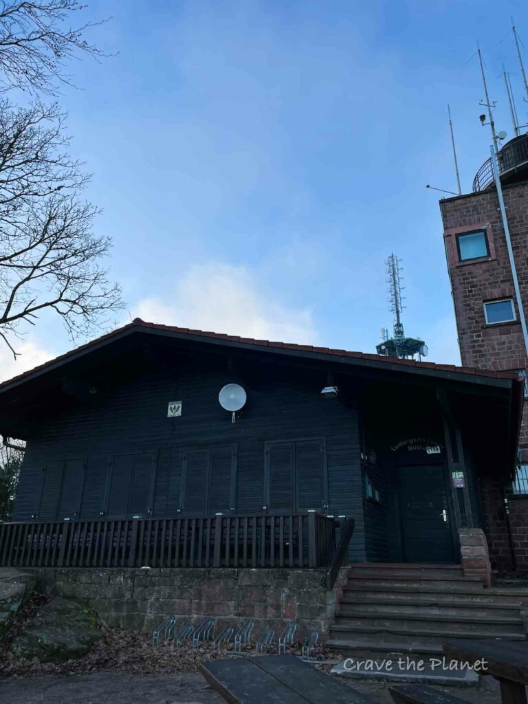
Kalmithaus
This is the highest hut in the Pfalz. It’s got a great playground and awesome tables overlooking the valley. Here’s their contact information and opening times.
1908 Founded
On the 673 meter high Kalmit, the local group inaugurates the first managed hut for hikers: the Ludwigshafener Hütte.
Highest Hut in the Pfalz
Opening times :
Open Wednesday, Friday, Saturday and Sunday from 11 a.m. to 5 p.m.; Kitchen and hot drinks until 4.30 p.m. Food and drinks can continue to be consumed outside after closing time. Opening times are up-to-date every day – including changes due to weather warnings.
website
Hohe Loog Haus
This massive hutte has incredible views.
Hütte am Entenweiher
| Opening days: | Wednesday, Saturday, Sunday and on public holidays in Rhineland-Palatinate Open daily during the summer holidays and autumn holidays. |
| Opening hours: | 10:30 a.m. – 6:00 p.m. (April – October) 10:30 a.m. – 5:00 p.m. (November – March) Menu |
| Hut warden : Christine Dobberke | Tel: 06321-480092 (hut telephone) Monday and Thursday 7:00 a.m. – 5:00 p.m. Private: 06323-937788 (from 7:00 p.m.) Mail: [email protected] |


More Rhineland Pfalz Travel Blogs
Craving a Hut to Hut Hiking Adventure?
Hut to Hut Hiking in the Dolomites Free Course
Curious about hut-to-hut hiking in the Dolomites, but not sure where to start or what to expect? Sign up for our newsletter that simplifies and educates so you can focus on the views and vino. Get curious, get ready, and let’s get started! Sign up here👇🏼
- Free Email Course to Learn : Everything You Need to Know About Hut to Hut Hiking
We hope this guide filled with interesting information about the Kalmit summit hike has given you the proper information to plan your next adventure.
Author profile: Morgan Fielder is a Doctor of Physical Therapy and passionate hiker who believes in exploring the world on foot with good food. Follow her journey as she shares science-based hiking tips and advocates for sustainable tourism.