Looking for a shorter, extremely well-marked, family friendly hike near Kaiserslautern with hut food options? The Bechhofen Germany Hutte hike is a shortened part of the Charles II August, Duke of Zwiebrucken premium hike.
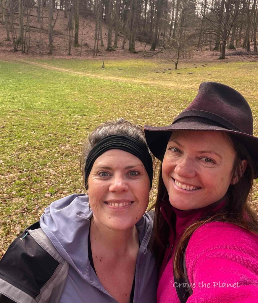
This hike offers a glimpse into authentic Germany away from tourists but has all the highlights of a German forest and meadow hike: beautiful single track, food and drinks at a hut, a knee bath (to sooth tired muscles after), views, and natural springs.
Author’s tl;dr: The Bechofen Germany hütte hike located near Kaiserslautern Germany is part of the UNESCO Biosphere Reserve Bliesgau and NSG “Lambsbachtal. Including GPX stages for your phone and food and cultural highlights. Dog friendly. 4.8 miles but easily shortened. The full Herzog Karl II August trail loop is 9.6 miles.
bechhofen Germany Hütte Hike Overview
This experience is great for families and people that want a hike very close to the autobahn (not many windy roads), with ponds, a hut and authentic rural Germany. It’s not for people looking for dramatic or steep scenery.
Bechhofen Hike
- Location: Bechofen Germany – UNESCO Biosphere Reserve Bliesgau
- When to Hike: Year Round
- Distance: 4.8 miles
- Up/down: 625 ft
- Time: 2 hours
- Difficulty: Easy and non-technical
- Type: Single track, dirt road
- Food: Kirrberg Hutte, Bakery in town
- Car: FreeParking along street
- Transport: Bus is available
Become a European Adventure Travel Insider in Just 5 minutes
✨Unlock Europe’s best-kept secrets with our free bi-weekly newsletter.

Morgan’s Bechhofen Hike Youtube
⛰️ Looking for an epic yet accessible hiking travel adventure?
Unlock the secrets of hut-to-hut hiking in Europe with our FREE course! Transform the way you trek and prepare for the journey of a lifetime. Try my course What to Expect Hut to Hut Hiking to reduce fear and answer all your questions.
Enroll Now for FreeHike Map
How to Use This Map:
Click on the icon on the top left-hand corner. You will now see an interactive list.
For more info on each, click on the map icons.
To see the map in more detail, click on the [ ] in the top right-hand corner. This will open a larger map where the details of each point can be found by clicking on the location point name in the list on the left.
You can also save the map for your own use by clicking the next to the map name. This will save the map to your Google Maps, where you can make a copy and use it for your own trip planning.
To view the saved map on your phone, open Google Maps, click “saved” on the bottom, and then “maps” on the lower right.
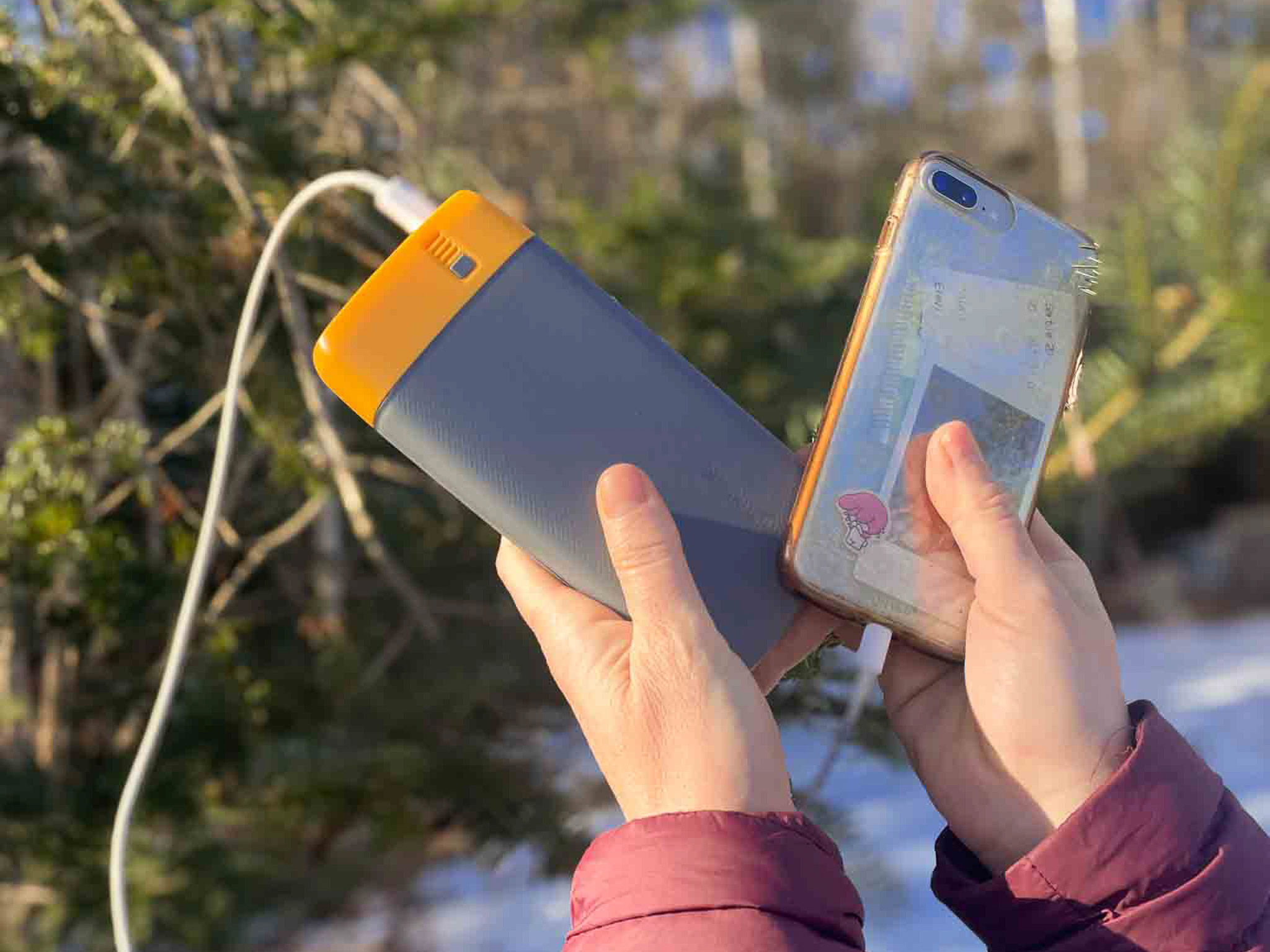
What We Liked About the BioLite Power Bank:
- It lasts so long
- 18 watt USB-C input/output and two 3.0 USB-A
- The 20,000 mAh battery fully charges in 5 hours
- Weighing 16.4 ounces and measuring 6.7 x 3.2 x 1.0 inches
- Comes with Charge 80 PD, USB-A to USB-C
✨ The Peace of Mind to have GPS when I get lost hiking....is invaluable.
Bechhofen Hike Experience
Lapot Bakery – Dog Training Hut (:45)
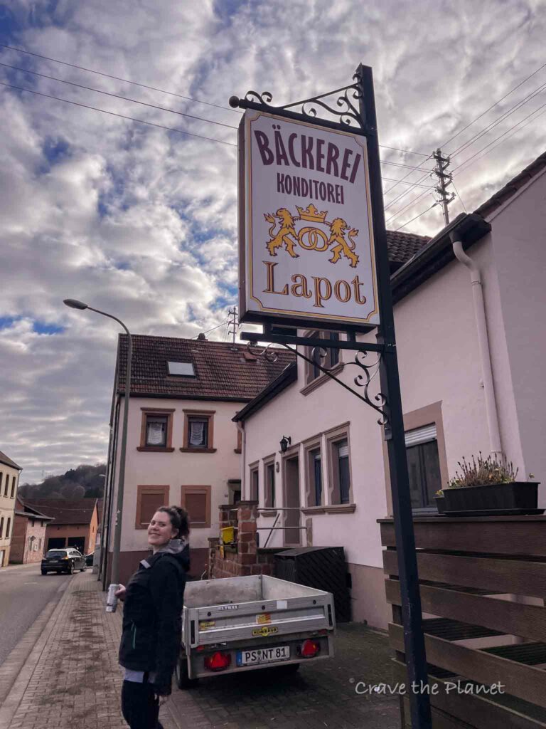
We parked along the street as most parking lots have a timer. This bakery has my favorite Grumbeere during Fasching season, and I highly recommend you buy there.
If you have a Way of Saint James passport (Camino de Santiago trail, Jakobsweg) you can get a stamp here.
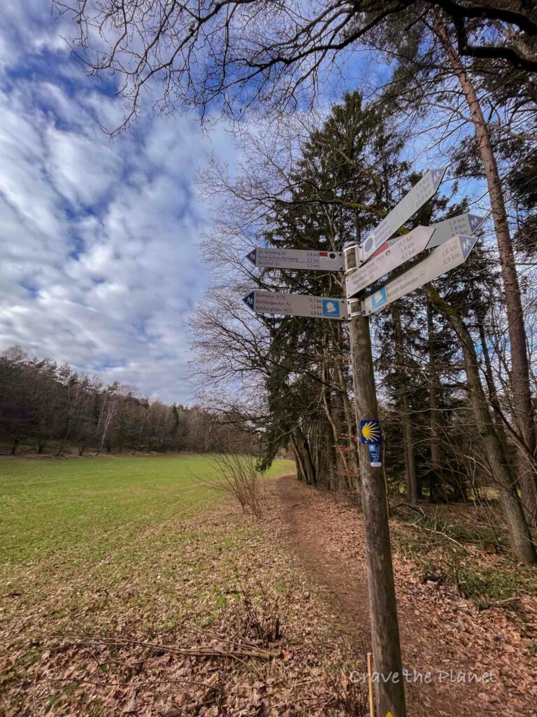
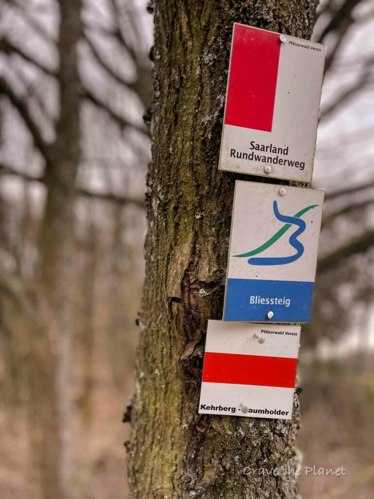
The trail is very well-marked at every turn and you cannot get lost.
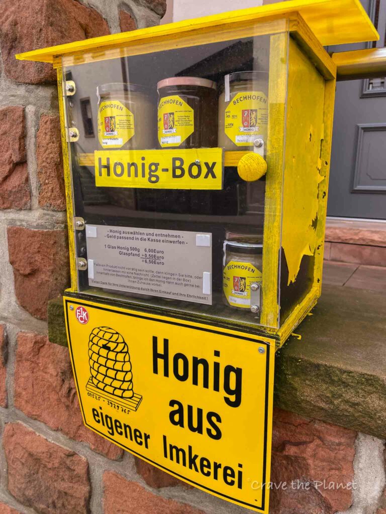
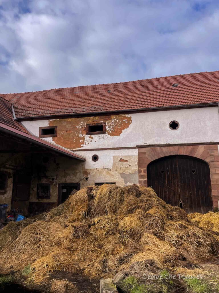
You’ll walk by barns on the edge of town and head toward the forests and meadows. There’s definitely some hills, but it’s all soft trails. We passed by a forest kindergarten and it was really cute.
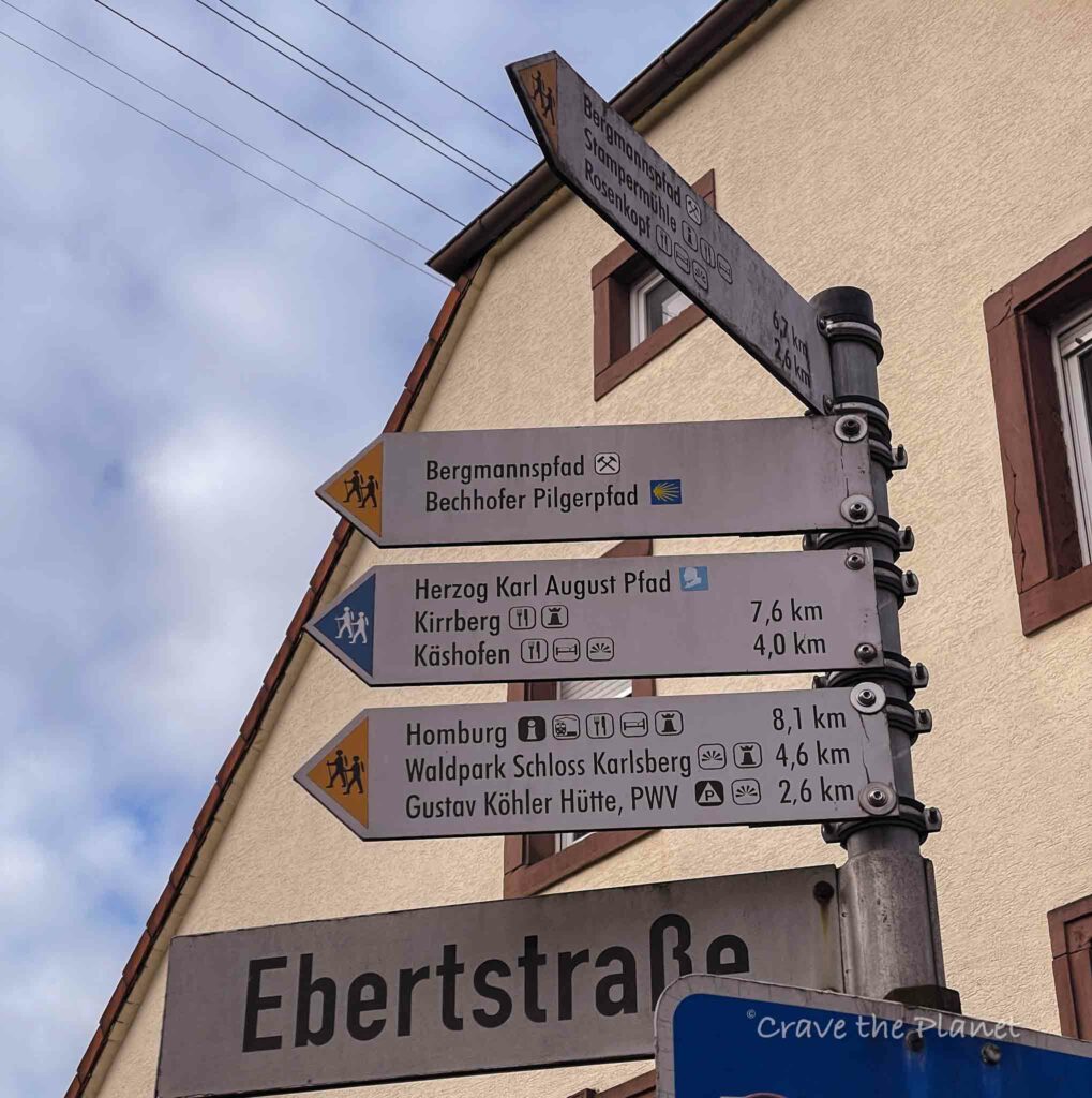
Trail Signage
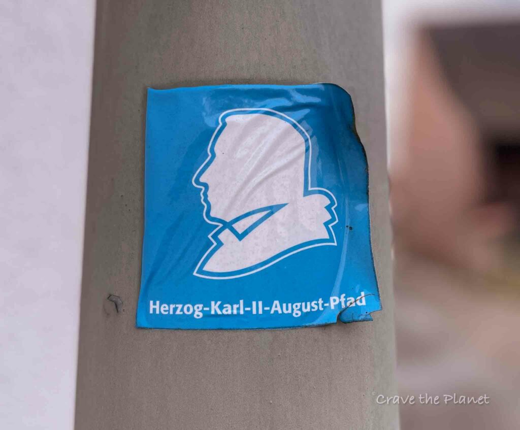
There are many trails that intersect here near Homborg. Keep following the blue man that looks like Sam Adams.
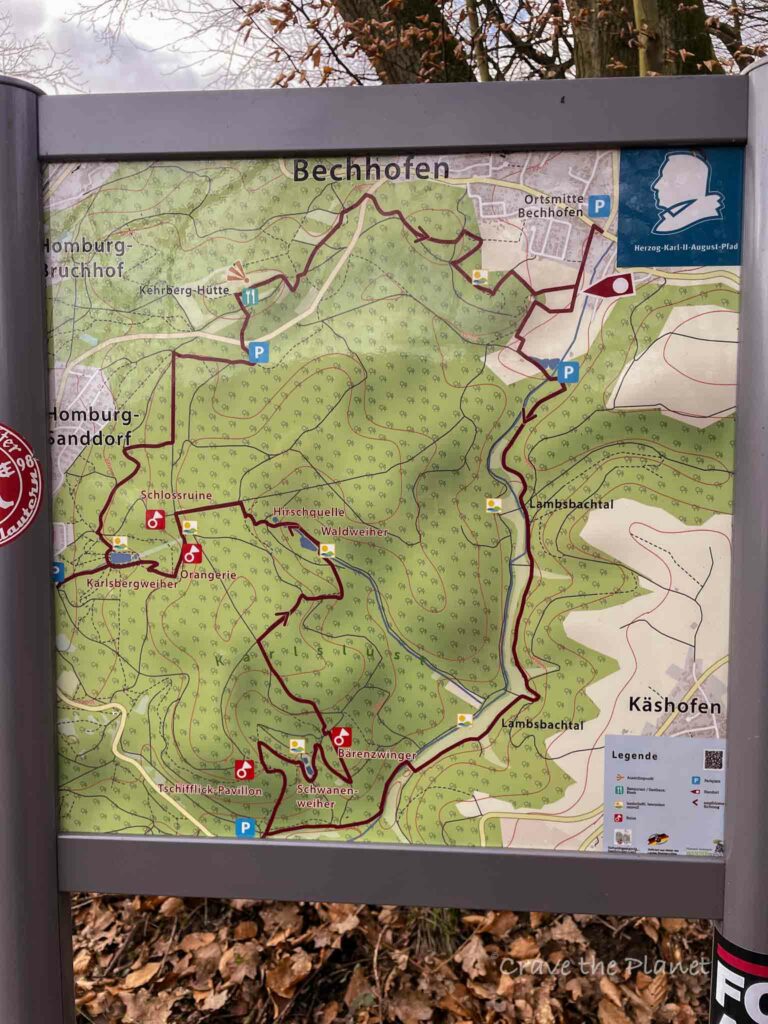
You will also like my related history hiking guide: Adlerbogen History Hike
Dog Training Hut – Kirrberg Hutte (1:25)
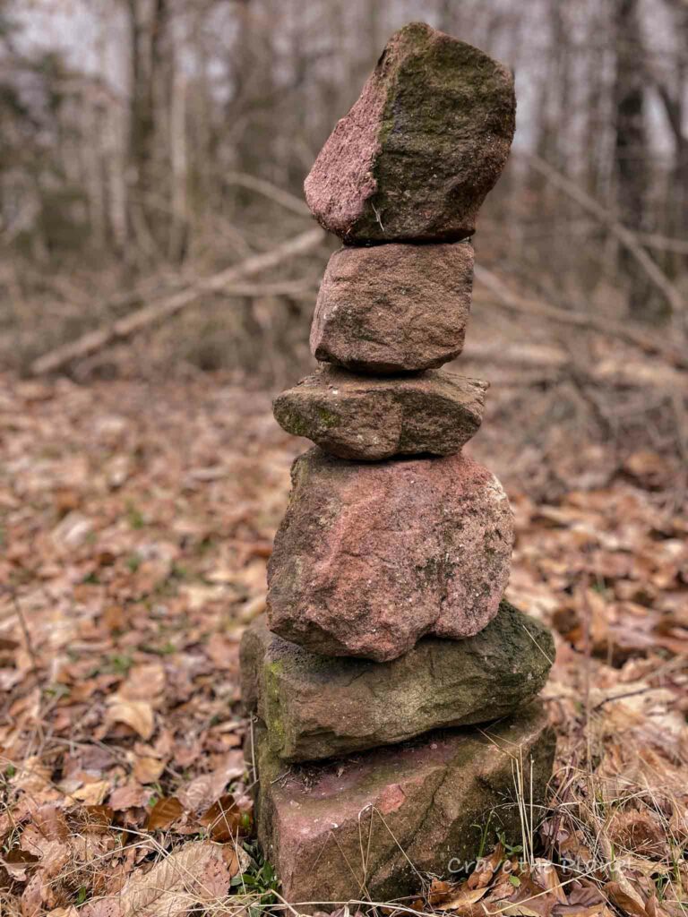
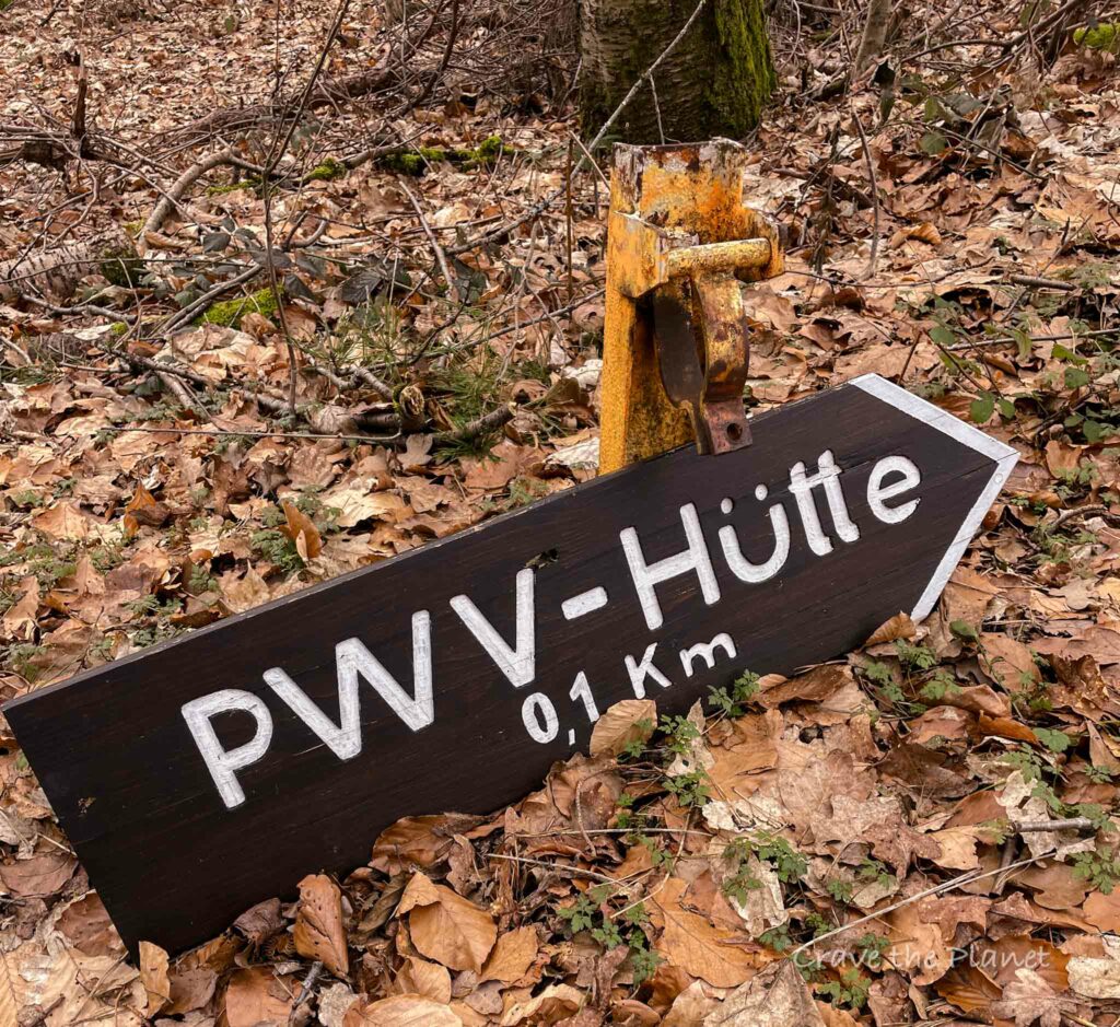
This hutte has a ton of facilities! Playgrounds and covered picnic tables and a serviced hut and public bathrooms.
It’s a very nice place to come and hang out.
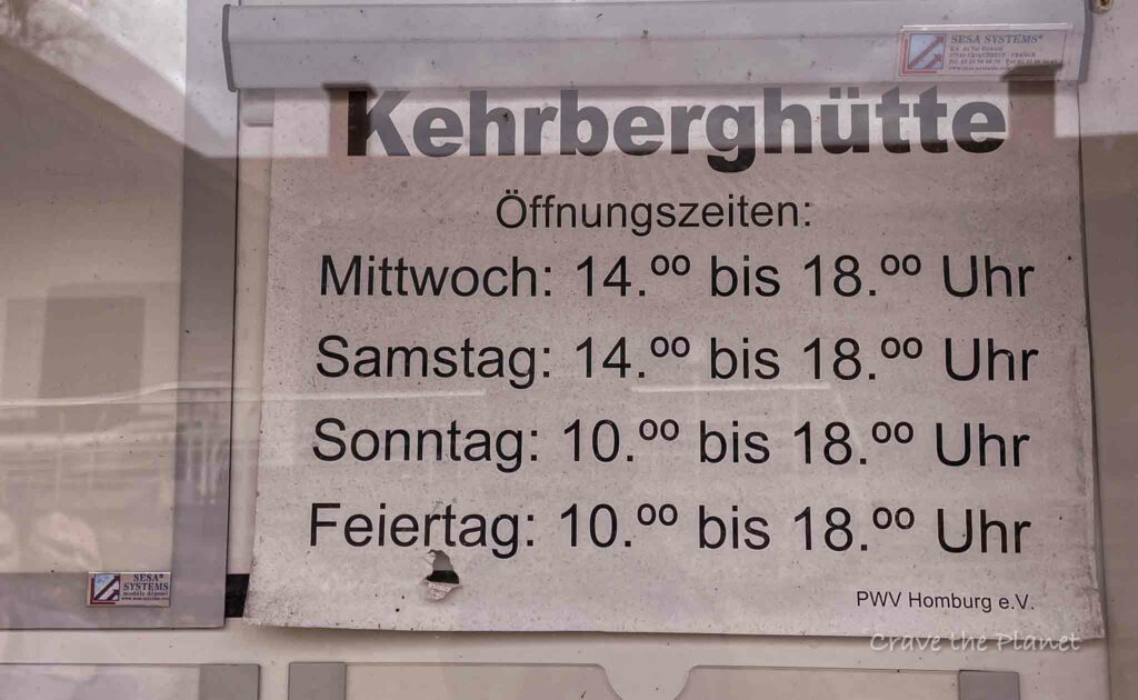
Kirrberg Hutte Opening Hours
During the summer season you can aim your hike to coincide with the opening hours of the hut.
Kirrberg Hutte – Bechhofen Village (1:25)
The walk back is lovely and mostly downhill. After the hike we meandered through some of the village’s new neighborhood to check out the houses. They are well-kept.
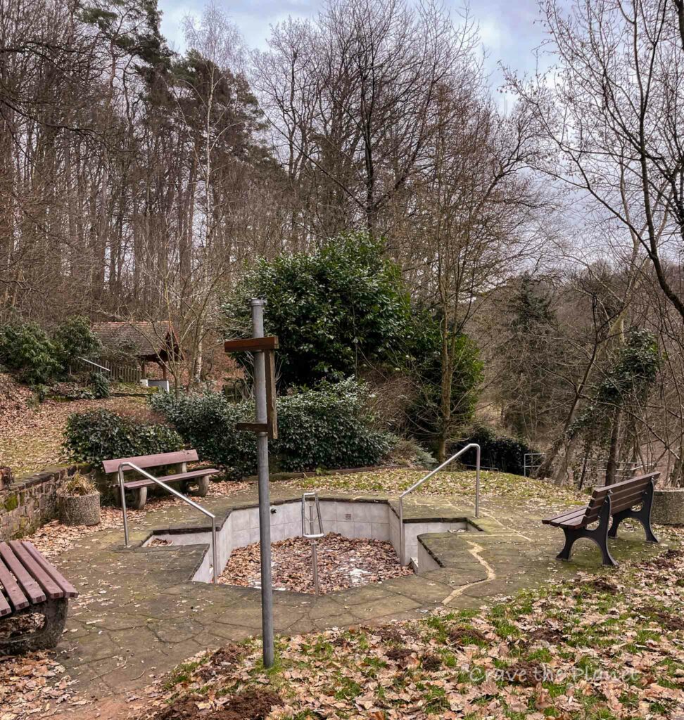
After the hike we explored the brunnen and knieppbad. This area is just next to the village and really cool to check out. In winter it’s not so exciting, but in summer it’d be great to check out.
How to Get to Bechhofen
By Car
This area is very easy to access via car. Take the Waldmohr exit and head toward Bechhofen. It’s 4.6 km from the autobahn.
By Bus or Train
The town also has a bus stop directly in the middle of town near the kneippbad.

Things to Know About Bechhofen Hike
This hamlet is quintessential Rhineland Pfalz.
History
This Bechhofen hiking trail is part of the Wanderinsitute and is a certified trail as recently as 2023.
Nature Travel Resources
Planning your trip?
- 🏨 Book your perfect stay on Booking.com
- 🎢 Make your trip more exciting with GetYourGuide
- 🚗 Hire a car with Discover Cars
- ✈️ Find cheap flight tickets with WayAway
- 📲 Buy eSIMs with Airalo
- 🥾 Get off the beaten tourist path with Fully Planned and Booked Self-Guided Hut to Hut Hiking Trip
- 🥾⭐️ Step into social adventure with Guided Group Adventure and Hiking Tours in Europe with Local Guides.
More Rhineland Pfalz Travel Blogs
Craving a Hut to Hut Hiking Adventure?
Hut to Hut Hiking in the Dolomites Free Course
Curious about hut-to-hut hiking in the Dolomites, but not sure where to start or what to expect? Sign up for our newsletter that simplifies and educates so you can focus on the views and vino. Get curious, get ready, and let’s get started! Sign up here👇🏼
- Free Email Course to Learn : Everything You Need to Know About Hut to Hut Hiking
We hope this guide filled with interesting information about hiking in Bechhofen Germany has given you the proper information to plan your next adventure.

Author profile: Morgan Fielder is a Doctor of Physical Therapy and passionate hiker who believes in exploring the world on foot with good food. Follow her journey as she shares science-based hiking tips and advocates for sustainable tourism.

